Risk management and insurance
For some years now, the insurance industry has been able to use meteorological products and services that have significantly changed the operational activity of loss adjustment, research for the development of new products, and risk management in general. In fact, as meteorological data also assumes a probative value, today it can bring clear, precise, and scientifically proven information. This is due to a strict selection of sources, which consider exclusively data of certified, official or WMO (World Meteorological Organization) origin, and also to the application of the scientific method of reanalysis, or retrospective analysis, which has added value to historical meteorological data collected over the years. The meteorological data have therefore acquired a high representativeness, thanks to an advanced monitoring of atmospheric events and to their detailed representation that allow to operate in a defined and specific space/time framework.
Solutions
Meteotrigger®
Weather service dedicated to the expert world that allows the making of any type of request for data, synthetic reports, or in-depth meteorological analyses for post-event support in the legal and/or insurance field. The information can concern any point or area of the globe, regardless of the presence or absence of weather stations.
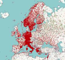 The calculations of the Data Scientists team start from the use of certified, official, and WMO-compliant weather data, organised in the unified database developed by Radarmeteo, passing through validation and control processes (both automatic and manual).
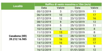 The customer’s requests may concern specific points or extended areas (municipal districts, provinces, etc.) and the final output may also contain (if required) the analysis of specific insurance thresholds or return times (e.g. in the event of heavy rains).
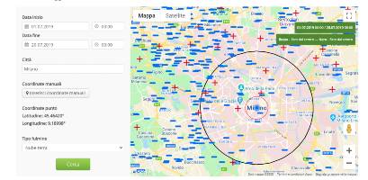 The service is completely automated and managed by means of the dedicated web portal from which, using the personal account, the customer has the possibility to make new requests for weather data, check the progress of the queries made and consult the processed documents archive
GisMeteotrigger®
Web application that allows access to the georeferenced database of meteorological data collected by thousands of stations scattered throughout the country, both in real time and as a historical weather archive.
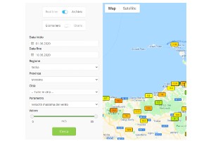 Through a simple query, the customer can instantly obtain any historical weather data (temperature, rain, wind, lightning) detected by official, WMO-compliant, and certified weather stations in the area.
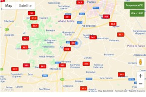 GisMeteotrigger® has been designed to display all weather data on an interactive cartographic support, with the possibility of automatically geo-locating the search and setting specific filters on geography, weather parameters, values.
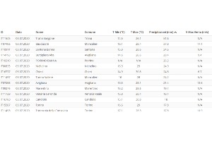 All data collected and displayed, both in real time and in the archive, can be viewed in table format and exported in CSV or PDF format for further processing and analysis
Hypermeteo®
The service that provides representative historical weather data, near real-time and forecasted, with high resolution and spatialised on territorial grids at a global level. Hypermeteo® is designed and prepared for the integration of meteorological data in customer services/platforms/applications.
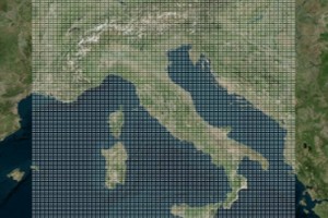 The meteorological datasets are organised on continuous and regular grids for complete coverage of the globe. Each cell of each grid operates as if it were a virtual weather station and associate with it is a continuous flow of historical data, near real-time and forecasted weather or a combination.
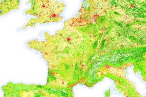 The data constituting the meteorological datasets are processed starting from the assimilation of data from various sources (stations, radars, satellites) and are reported on each grid point using methodologies such as meteorological reanalysis and spatialisation. The data is also subjected to control and validation processes (both automatic and manual).
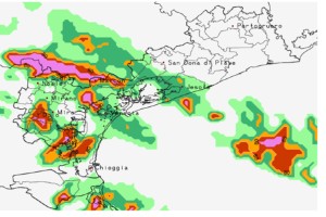 Hypermeteo® datasets in the field of risk management and insurance are used for the punctual verification of claims and various types of analysis (risk assessment, insurance analytics), for the elaboration of index or risk indicators and for information services that the companies provide to their clients.
REFERENCES
Customers who support our growth
Radarmeteo collaborates with Companies and Condifesa of different sizes and with different organizational characteristics, adapting the services and the business model to the requests of the interlocutor. This allows at the same time a very lean relationship, dedicated to the identification of ad hoc solutions, and maximum customer satisfaction.


